This two-week intensive project focused on the preliminary design of ATREIDES, a Martian orbital mission utilizing a LiDAR instrument to characterize lower-atmosphere wind profiles and dust dynamics. Serving as the Project Manager and Systems Engineer (PM/SE) for a multidisciplinary team of seven, I coordinated the Science, Platform, and Orbit poles within a Concurrent Design Facility (CDF) framework. My role involved ensuring technical coherence across subsystems while developing the mission's core management tools, including a 15-year master schedule, a comprehensive risk management strategy, and a detailed industrial cost model.

Lorem ipsum dolor sit amet, consectetur adipiscing elit. Suspendisse varius enim in eros elementum tristique.
Lorem ipsum dolor sit amet, consectetur adipiscing elit. Suspendisse varius enim in eros elementum tristique.
Lorem ipsum dolor sit amet, consectetur adipiscing elit. Suspendisse varius enim in eros elementum tristique.
Lorem ipsum dolor sit amet, consectetur adipiscing elit. Suspendisse varius enim in eros elementum tristique.
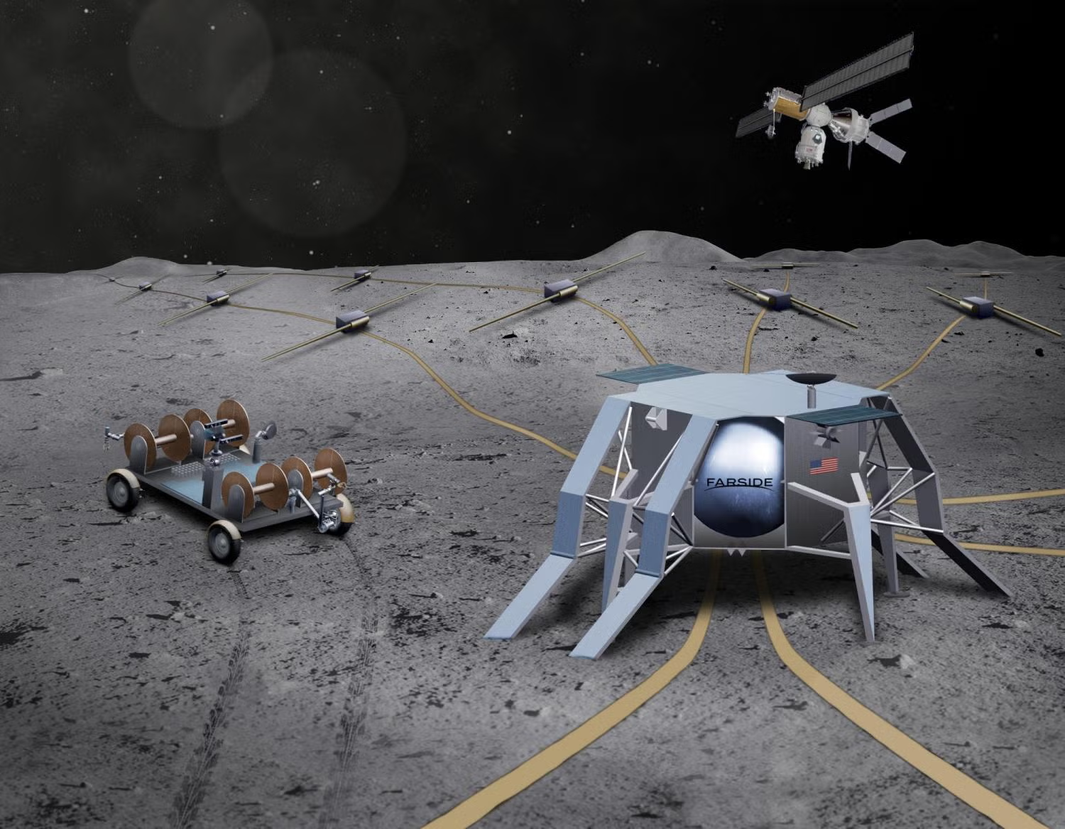
The ATREIDES mission was conceptualized to address critical knowledge gaps in Martian planetary science, specifically regarding the interactions between the lower atmosphere and the planet's surface. The scientific objective is to perform global mapping of horizontal wind speeds and dust vertical distribution using an orbital LiDAR. By characterizing wind regimes and dust transport mechanisms, the project supports long-term NASA goals for sustainable human exploration, providing essential data for forecasting dust storms and ensuring the safety of future inhabited infrastructures during Entry, Descent, and Landing (EDL) phases.
I was responsible for defining the mission's end-to-end lifecycle, translating high-level objectives into a structured Master Schedule spanning 15 years. This roadmap detailed the transition from Phase A (Feasibility) through to Phase E (Operations and Data Exploitation). Key tasks included identifying the critical path, managing time margins for integration and testing (AIT/AIV), and aligning the development timelines of the Science and Platform poles to ensure mission readiness for the targeted launch window.
Operating in a Concurrent Engineering (CDF) environment, I acted as the primary technical interface between the mission's specialized poles. As the Systems Engineer, my focus was on managing system-level requirements and facilitating technical "trade-offs" to resolve subsystem conflicts. I ensured that the platform's power, mass, and data-handling capabilities were perfectly sized to support the LiDAR instrument’s requirements while maintaining a stable orbit, ensuring that all design decisions remained consistent with the overall mission architecture.
To guarantee mission success, I implemented a robust Risk Management framework that identified and quantified over 20 technical and programmatic risks. By establishing a criticality matrix based on probability and severity, I prioritized threats such as instrument SNR degradation due to Martian dust properties or platform power failures. I developed targeted mitigation plans, including hardware redundancies and conservative design margins, to transition high-criticality risks into acceptable mission parameters.
I conducted an in-depth Cost Analysis to validate the project's economic feasibility and industrial credibility. This involved modeling workforce requirements, calculated in Man-Days, for complex phases such as unit testing, system integration, and final acceptance testing. By evaluating facility costs and integrating risk-related financial margins, I produced a realistic budget forecast for the entire mission duration, demonstrating the ability to balance high-level engineering ambitions with the pragmatic constraints of the global space industry.
Download the full project report for in-depth technical documentation and detailed findings.
![image of engineers working on satellite components [team]](https://cdn.prod.website-files.com/68b8a2f09cb5f6e554409260/6983b09c957084f646e823ee_Capture%20d%E2%80%99e%CC%81cran%202026-02-04%20a%CC%80%2021.46.50.png)
![image of engineers working on satellite components [team]](https://cdn.prod.website-files.com/68b8a2f09cb5f6e554409260/6983b0b9e6a079a34f4da1c9_4096-2731-max.jpg)
![image of engineers working on satellite components [team]](https://cdn.prod.website-files.com/68b8a2f09cb5f6e554409260/6983b210588ec855718dfc0e_Capture%20d%E2%80%99e%CC%81cran%202026-02-04%20a%CC%80%2021.54.27.png)